It has an area of 6,744 km². In 2014, it had 102,989 inhabitants. It is limited to the north by the municipality of Benguela, to the east by the municipalities of Caimbambo and Chongoroi, to the south by the municipalities of Camucuio and Moçâmedes and to the west by the Atlantic Ocean. The municipality is made up of the headquarters commune, corresponding to the city of Baía Farta, and the communes of Dombe Grande, Calahanga and Equimina.
It forms, together with the cities of Benguela, Lobito and Catumbela, the Metropolitan Region of Benguela, an area of strong conurbation and connection to urban services.
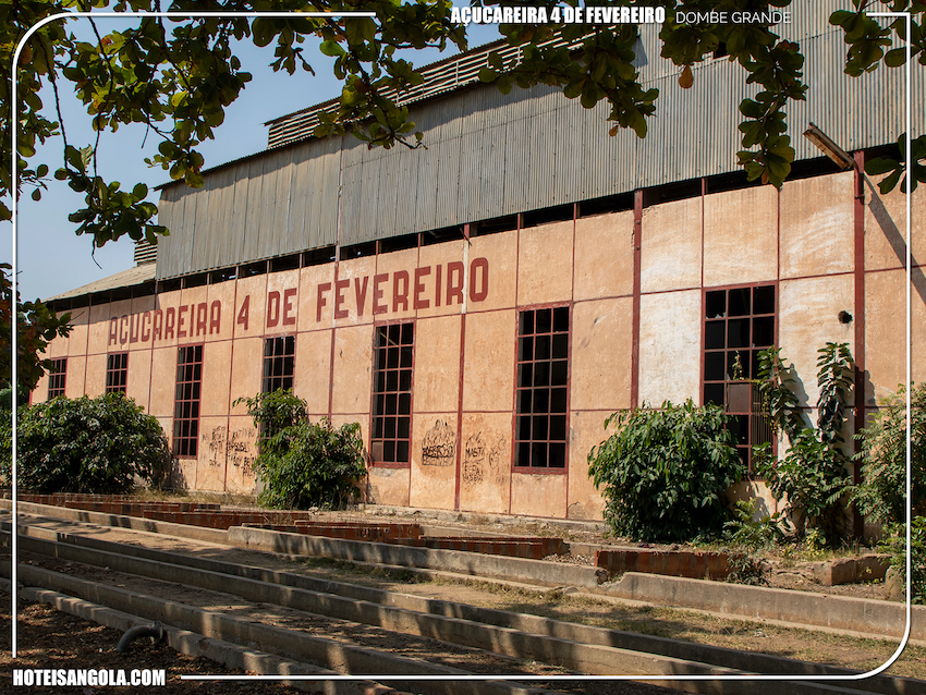
Between the commune of Dombe Grande and the village of Cuio, in the municipality of Baía Farta, the Cuio Railway was built between 1904 and 1905, the smallest of all railway lines in Angolan territory (excluding branch lines) . It was only 18 km long, and was used to transport the sugar produced in Dombe. The flow took place through the port of Cuio, in the homonymous cove.
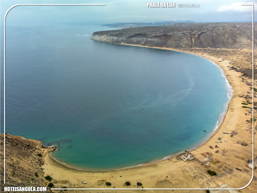
Its major economic pillars are sea fishing and tourism, in the Farta (geographical feature) and Caota bays, in addition to the Cuio cove.
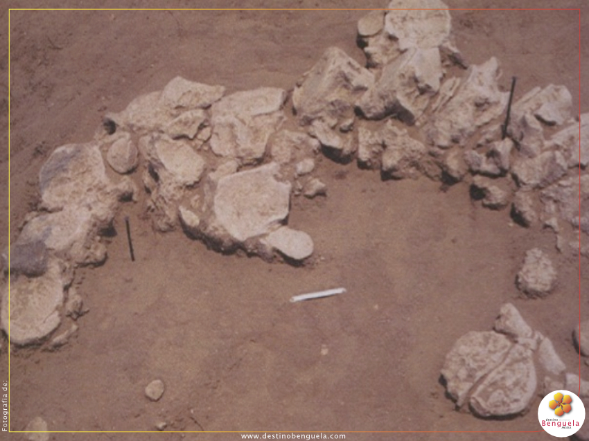
Dungo is a dry river (oued) that receives a series of tributaries, flowing into a sandy alluvial surface formed by annual discharges. These water courses over thousands of years will have made visible in various places concentrations of artefacts and cuttings probably as a result of the dismantling of carcasses of marine animals or terrestrial animals of medium and large size, such as the ancestors of ungiris or olongos (Tragelaphus strepsiceros) or even elephants, given the size of the cutting instruments. The stations were studied from the geological point of view by Dr. Mascarenhas Neto from the Angolan Geology and Mining Services in 1956, by Professor Gaspar de Carvalho who in 1960 , which collected several lithic pieces, some of which were offered to the Mendes Corrêa Museum of Anthropology in Porto. A study and publication by Dr. Carlos Ervedosa resulted in them in 1967.
Situated next to the Dombe Grande road, about 30 km from the city of Benguela, it covers an area of 150 km2, mainly constituted by an elevated plain surrounded by mountains more or less steep and with altitudes varying between 50 m
It's Dombe Grande! There is no one who does not associate this village in Benguela with things from beyond. True or not, the truth is that Dombe Grande is river land in a semi-desert; secret beaches; of tradition and myths. With the protection of the Kalundus, visit the commune that has sweetened the lives of many Angolans for decades on end.
Baía Azul is a beach in the south of the province of Benguela, in Angola. It is located south of Praia Morena and is 3 km long. It owes its name to the strong blue waters of the region. Baía Azul is considered the
It is located on the south coast of the province of Benguela, 20 km south of Equimina. At the top turnoff, follow the instructions and turn towards Equimina, which you will find after 25 km.
The site, now in ruins, was built in the 18th (18th) century to serve as a concentration and sale of slaves, mainly from the Central and Southern regions of Angola.
Located between mountains with around 120 hectares of which 100 are reserved for our safari, CV LODGE & SPA, the most impressive luxury lodge in Benguela
Part of the AMAC Environmental Park, Lodge Kapembawé offers services in the areas of leisure and entertainment. With a privileged location in Benguela, with 20 Bungalows, 6 wooden houses, 16 low-cost rooms and 1 family house with 3 bedrooms. Stand out






 English
 Português